Long-term post-fire forest recovery
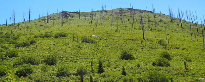
Extensive work in California has documented the factors influencing forest recovery patterns 5-10 years post-fire, often showing near-complete regeneration failure in the interiors of high-severity patches. However, far less work has explored the potential for forests to recover in such areas over the following decades. We are addressing this gap by developing a computer vision model to detect forest regeneration in all 10- to 40-year-old fire footprints across the state using imagery from the USDA National Agriculture Imagery Program (NAIP). To train and validate these models, we are performing ground-based surveys and collecting drone imagery from fires stratified across geographic space, fire age, and environmental conditions.
Our model will map forest regeneration success or failure statewide, a dataset we will then use to understand the factors that control and explain longer-term regeneration trajectories. Among other applications, our work will help to refine models used by the California Air Resources Board to predict the greenhouse gas benefits of wildfire risk mitigation projects.