Position extension: Field Logistics & Data Manager
Summary
For interested applicants with the necessary additional qualifications, this position serves as an extension to the Drone Pilot & Field Crew Leader position or the Field Crew Member position. The position will provide field logistics support prior to and during the field season by coordinating site access permissions and schedules with site managers/landowners; preparing field protocols, gear, and datasheets; and related tasks. The position will also assist with management of existing and new lab data, including standardization of forest inventory data for inclusion in the Open Forest Observatory database and organization and quality-checking of incoming field data during the field season. The position may include some limited pre-season field site reconnaissance.
Compensation
Approximately $26-29/hour, depending on qualifications and UC Davis HR assessment
Employment period
This position would extend the Drone Pilot & Field Crew Leader position or the Field Crew Member position by approximately 1-3 months, beginning 1-2 months earlier and ending up to 1 month later. These durations may be extended if the candidate elects to work part-time (commitment of 50-100% time is possible).
Location
- 100%: UC Davis office (with a potential exception for some limited pre-season field site reconnaissance)
Purpose
This position will support two projects:
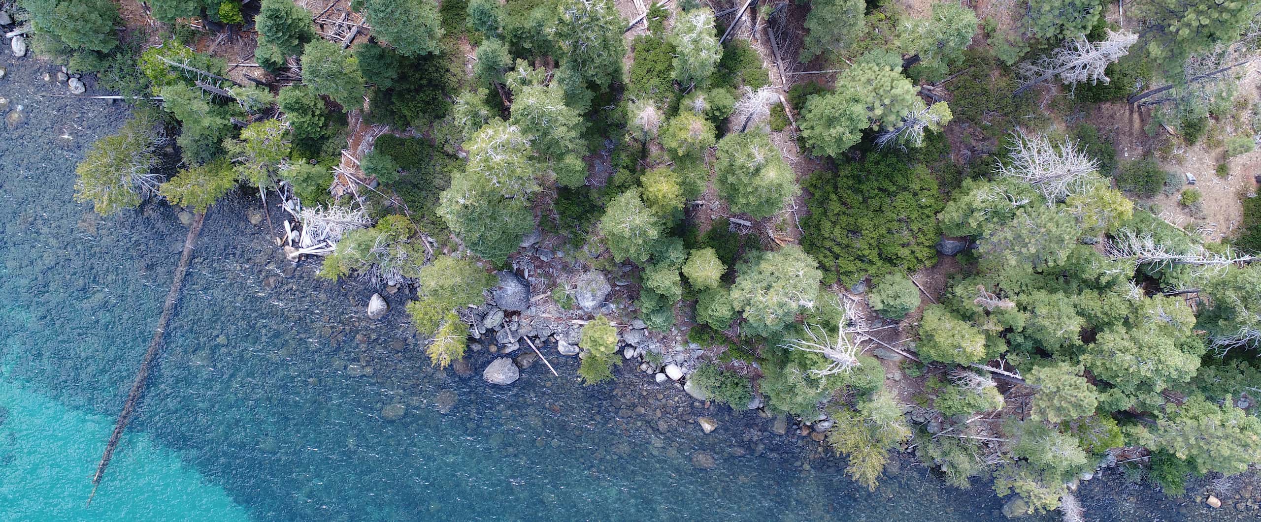
- An expansion of the Open Forest Observatory project that is developing methods for automating forest inventory by combining over-canopy drone-based reconstructions with under-canopy 360-degree (e.g. GoPro) imagery to better capture understory trees, shrubs, and logs. This project involves drone and ground imagery collection and ground-based vegetation inventory.
- A study of forest recovery 10-40 years post-wildfire that will use drone and NAIP imagery to train and validate a computer vision model for mapping trees establishing following decades-old fires across southern, central, and northern California. This project involves drone flights only, no ground-based imagery or manual inventory.
Job description
- Prior to the field season, and to a limited extent during the field season, coordinate the logistics of site access. This will involve extensive email and phone communication with site managers to get permissions and identify specific study sites, as well as communication with USFS and Cal Fire aviation staff to get permission for drone flights.
- Prepare field site maps, including candidate plot locations, in multiple GIS formats for use in the field.
- Aid in developing protocols for field-based data collection (imagery and manual inventory data) and data management prior to the field season. Includes identifying different forms of imagery collection that should be compared (e.g. low sun angle vs. high sun angle, 360 degree vs. wide-angle) and a system for managing and tracking the large resulting volumes of data and metadata coming from each field site. Also includes determining the minimal amount of ground-based data collection necessary to enable meaningful validation of automated methods.
- Aid in developing methods for annotating key understory objects (e.g., trees, logs, shrubs) in drone and ground-based imagery for computer vision model training, train and supervise others in performing this task, and perform some of this work directly
- Aid in hiring and training field crew members
- As time and interest permit, assist in pre-season reconnaissance of potential field sites to assess site suitability and access logistics
- As time, skills, and interest permit, improve upon Open Forest Observatory data processing workflows, create and expand user-friendly documentation of workflows and datasets, and develop example workflows and tutorials.
Work location & camping
The duty station is Davis, CA (UC Davis).
Work schedule
The pre- and post-field season work schedule will generally consist of 5 8-hour days, followed by 2 days off, with a potential for part-time work if preferred.
Minimum qualifications
- Bachelor’s degree in ecology, environmental science, forestry, geographic information science, data science, robotics, or a related field
- Extensive experience with ground-based field data collection in remote locations with minimal or no facilities for extended periods
- Experience hiking and camping in remote locations with no facilities
- Experience using GIS software for geospatial mapping and/or analysis
- Excellent organizational skills for planning, data management, and equipment management
- Attention to detail
- Ability to work independently and make appropriate executive decisions without a supervisor present
- Experience successfully collaborating with individuals from diverse backgrounds
Desired qualifications
- Experience coordinating project logistics, including field logistics, and communicating effectively with diverse stakeholders such as land managers, researchers, and government agencies
- Skilled in navigating on- and off-trail using topographic maps, compass, and handheld GPS units
- Skilled in identifying California trees and shrubs
- Experience working with complex data recording equipment
Application due date
Review of applications will begin on December 22, 2025 and continue until the position is filled.
To apply
Please submit a cover letter (including your interest in the position, relevant experience, and availability dates), CV/resume, unofficial transcripts from any completed (within last 3 years) and in-progress degree programs, and contact information for three references (including name, organization, email, and relationship to you) using this Google form. The form includes more detailed instructions. For questions about the position, contact Derek Young, djyoung@ucdavis.edu.